Map Illustrators
Mexico City Map
$77.00
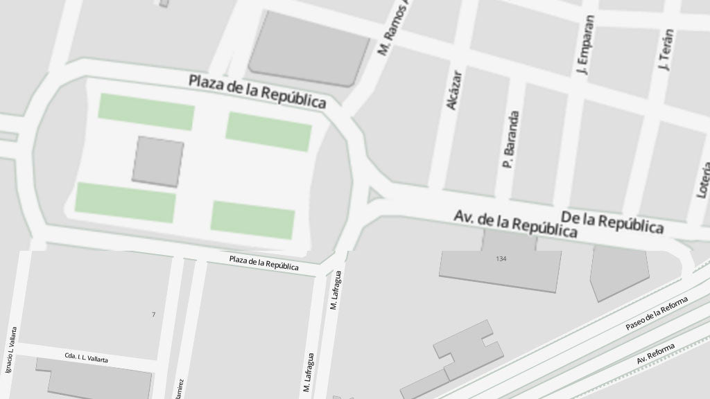
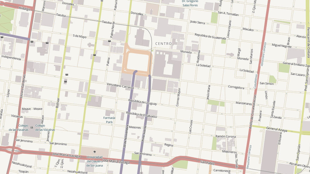
Detailed Mexico (Mexico) City Map In Vector File Format
Edit this accurate map in your own design software, like Adobe Illustrator. Your topographic plan at street level contains editable layers for each cartographic category like roads, buildings, rivers, points of interests et cetera. This Mexico City Vector Map includes not only the city center, but the suburbs as well.
Only accept the most accurate map. Therefore, we take one working day to incorporate the latest changes in a city map. This is what makes Map Illustrators stand out from other suppliers.
Specifications of the Vector Mexico City Map
- File format: Adobe Illustrator CC, other file formats like .jpg, .pdf, .png or .eps are available on request
- File size: 25 MB
- Scale: 1:15.000
- Publishing date: 2017
- Online delivery period: 24 hours / by downloadable link
Benefits
- Save money: save tremendous time and money designing or printing your own city map
- No surprises: up-to-date, complete and high resolution cartography
- High quality: scale, crop or zoom to virtually any size without loss in detail or quality
- Copyright free: buy once, use as much as possible
- No risk: 30 days money back guarantee, no questions, no hassle
Mexico City facts
Mexico City (Spanish: México, Ciudad de México, or D.F. (pronounced deh eh-feh)) is the capital city of Mexico, and the largest city in North America. The city is officially divided into 16 delegaciones (boroughs) which are in turn subdivided into colonias (neighborhoods), of which there are around 250; however, it is better to think of the city in terms of districts to facilitate the visitor getting around. Many older towns like Coyoacán, San Angel and Tlalpan got merged into the urban sprawl, and each of these still manages to preserve some of their original and unique characteristics.
Mexico City Districts
- Centro Historico - Where it all began. Historic city center that is focused around the Zócalo or Plaza de la Constitución and extends in all directions for a number of blocks with its furthest extent being west to the Alameda Central. Many historic colonial landmarks, and the famous Aztec Templo Mayor, can be found here. The Zocalo is the largest square in Latin America and the third largest in the world after Moscows Red Square and Beijing's Tiananmen Square. There are a few other neighborhoods comprised in the Centro area such as Colonia San Rafael and Santa Maria La Ribera, see the Centro Historico page for more details.
- Chapultepec - Lomas - Chapultepec is one of the biggest urban parks in the world. Its name in Nahuatl means grasshopper hill. The park hosts the the main city zoo, a castle (now museum), lakes, an amusement park and many museums. Lomas de Chapultepec is the wealthiest district in the city nearby Chapultepec, and is filled with walled off mansions.
- Polanco - One of the wealthiest residential areas with some of the most expensive designer boutique stores in the city. Filled with embassies, upscale restaurants, night clubs and hotels.
- Zona Rosa - Also known to tourists as Reforma district because it embraces Paseo de la Reforma Avenue, it is an important business and entertainment district. It is widely known to be the gay center of town.
- Coyoacán - A colonial town swallowed by the urban sprawl, it is now a center for counter-culture, art, students, and intellectuals. Many good museums can be found here also.
- Condesa and Roma - Recently reborn after decades of oblivion, and brimming with the city's trendiest restaurants, bistros, clubs, pubs and shops. The neighborhoods are on opposite sides of Avenida Insurgentes, around Parque Mexico and España.
- San Angel - Trendy, gentrified area lined with cobblestone streets, upscale boutiques and many restaurants. It is a wealthy residential area as well, and known for its arts market.
- Xochimilco - Also known as the Mexican Venice for its extended series of Aztec irrigation canals — all that remains of the ancient Xochimilco lake. Xochimilco has kept its ancient traditions, even though its proximity to Mexico City has influenced that area to urbanize.
- Santa Fe - A modern, recently redeveloped business district at the cities western tip that consists mainly of high rise buildings, surrounding a large shopping mall.
- Del Valle - Middle class residential, business and shopping area in south central city.
- Tlalpan and Pedregal - Largest of the boroughs and Tlalpan is home of Ajusco, a volcanic mountain peak and National Park, one of the highest mountains near Mexico City.
- La Villa de Guadalupe - Located in the borough of Gustavo A. Madero in the northern part of the city. Home to the Basilica of Our Lady of Guadalupe, perhaps holiest Catholic site in the Americas. Draws pilgrims from around the world every day.
- Ciudad Satelite - Residential and shopping area north of the city.
- Interlomas Residential and shopping area at the West of the City