Map Illustrator
Custom Editable Vector Map
Your benefits
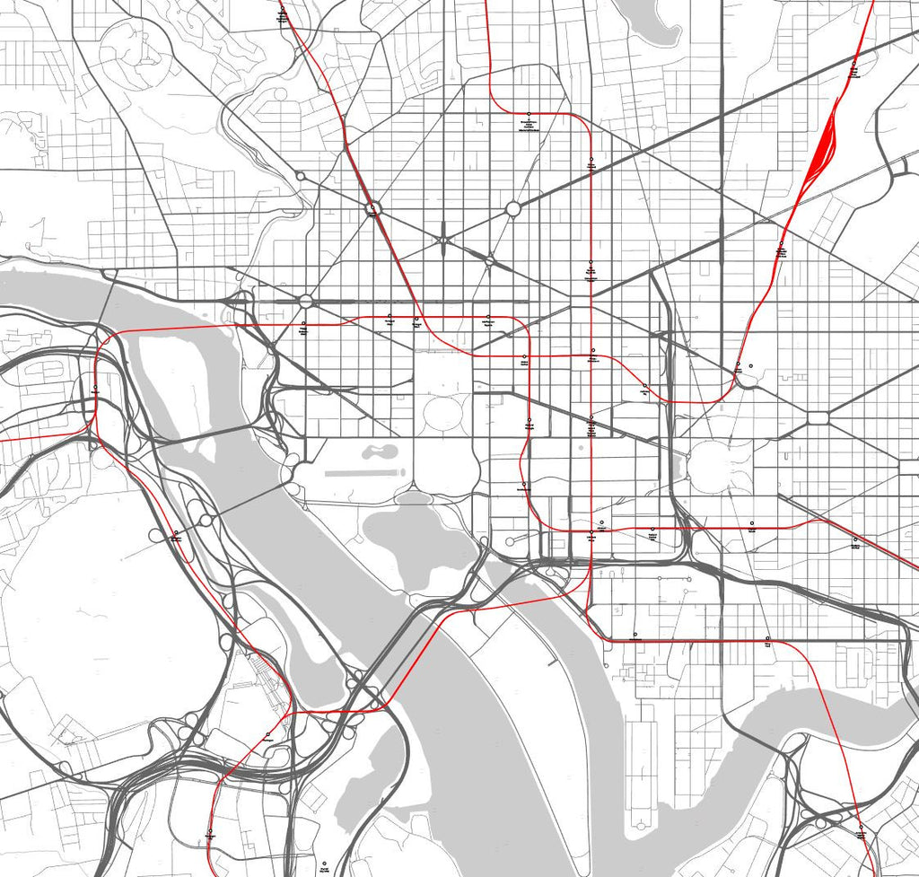
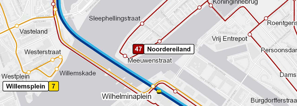
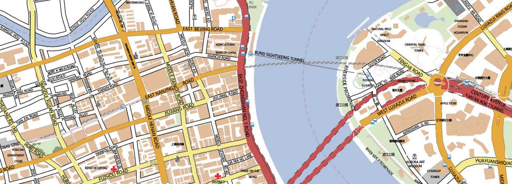
- Most detailed and editable vector map of every possible area on earth
- Adobe Illustrator format including editable layers (other formats on request)
- Save money: save tremendous time and money designing or printing your own city map
- No surprises: up-to-date, complete and high-resolution cartography
- High quality: scale, crop or zoom to virtually any size without loss of detail or quality
- Copyright free: buy once, use as much as possible
Note: we only want you to work with the latest editable vector map possible. Therefore we need 5 working days to collect accurate data and design your custom map. Please reckon with this delivery period.
Tell us which area you want to be mapped! Your custom map contains the motorways, primary, secondary, tertiary roads, points of interest and geographical elements like rivers, lakes, forests, parks etcetera. Each map element is editable in Adobe Illustrator.
Please take care that you enter the coordinates of the extent you want to be mapped and the scale of the map at the order form in the field "Add a note to your order".
Check the video tutorial on how to define the extent of your custom map. The url of the bounding box tool: http://boundingbox.klokantech.com/
Specifications of your custom made map
- File format: Adobe Illustrator CC, other file formats like svg, .jpg, .pdf, .png or .eps are available on request
- File size depends on the extent and scale. Please enter the extent and required scale in the appropriate field during the online order process
- Online delivery within 5 working days